Leominster trust preserves 200+ acres at Mount Watatic
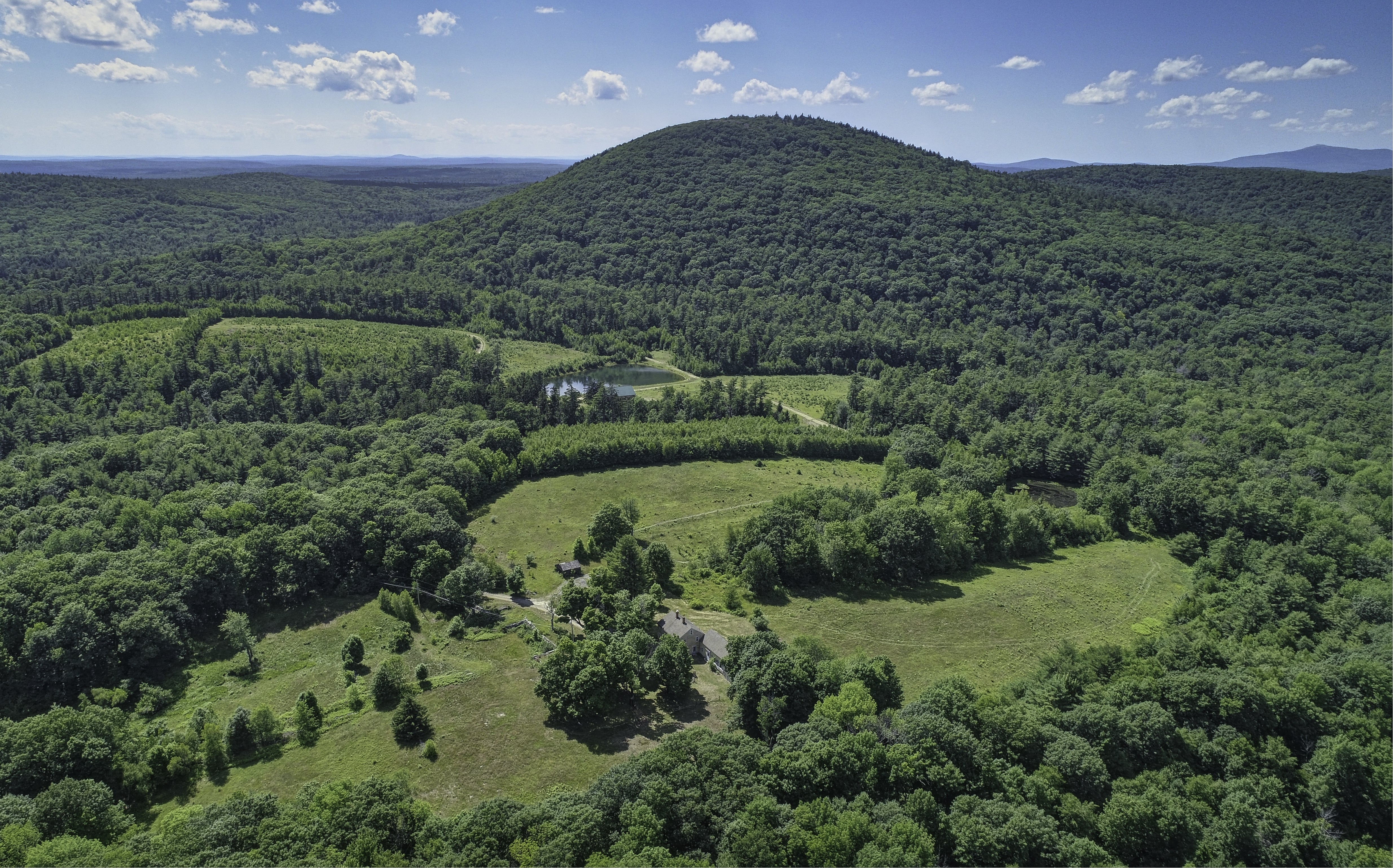 Photo | Courtesy | Terry Holland
A view of Mount Watatic on the Ashburnham and Ashby line just south of the New Hampshire border
Photo | Courtesy | Terry Holland
A view of Mount Watatic on the Ashburnham and Ashby line just south of the New Hampshire border
More than 200 acres of wooded land at the southern slope of Mount Watatic at the Ashburnham and Ashby line have been bought for conservation by the Leominster-based North County Land Trust.
The trust paid $1.3 million to the Thomas Mikes Family Trust to obtain the parcels, which straddle the town line and form the southern half of the former Watatic Ski Area, which closed in the 1980s but whose old north-facing ski runs can still be visible to hikers.
The land trust, which closed on the sale Jan. 20, said it will transfer 186 acres of the site to MassWildlife to add to the state agency's holdings in the area. The state plans to permanently preserve the site, which the land trust said is popular with bikers, bird watchers and others. Hiking and hunting will be allowed.
The land trust plans to keep 15 acres for environmental education and what it called low-impact outdoor experiences.
The state already owns the north slope of Mount Watatic and around the base of the mountain, which rises 1,832 feet directly off Rindge State Road (Route 119), about 200 feet shorter than Mount Wachusett in Princeton. The broader conservation area, which abuts the New Hampshire state line, covers 1,536 acres, according to MassWildlife.
Most Recent


Most Recent


0 Comments